Airport
Touchdown!
The Duluth International Airport is a top-flight place to land, and the city of Duluth is a beautiful place to spend some ground time. With an array of amenities, restaurants, lodging and entertainment options, you might not want to take off again.
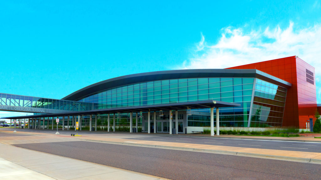
Duluth International Airport
DLH is the access point to one of America’s great small cities and one of the world’s most spectacular outdoor playgrounds, as well as being the gateway to everywhere for the people and businesses in the upper Midwest.
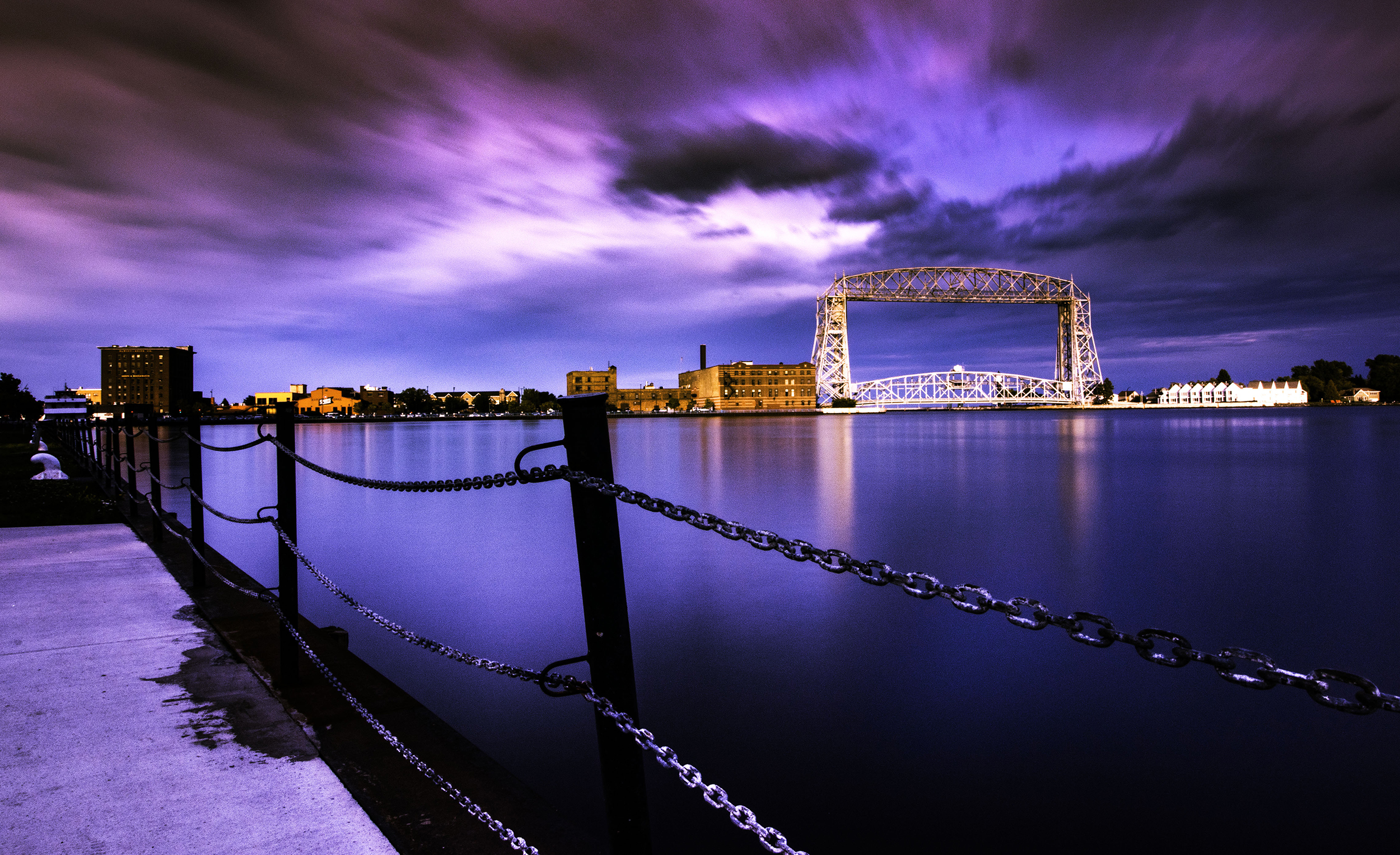
Duluth, Minnesota
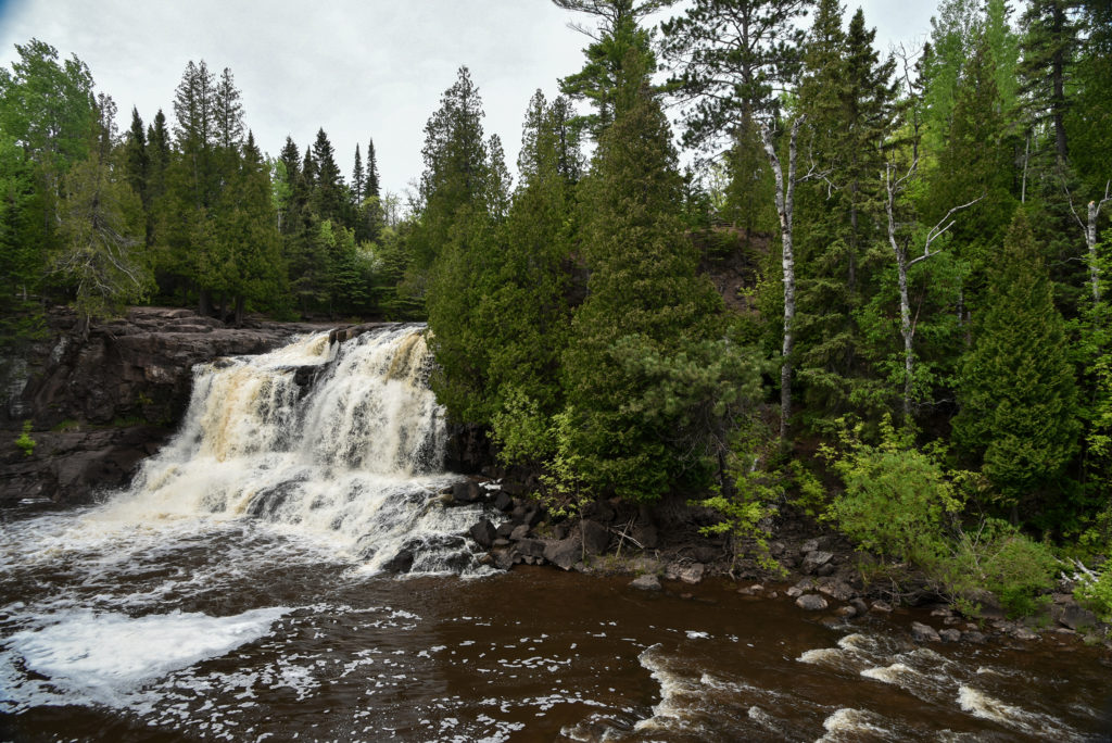
Outdoor Recreation
close Duluth was named Outside Magazine’s “Best Town Ever” in large part due to its over 6,000 acres of city parkland, 178 miles of wooded trails, 7-mile long sandy beach, and 16 trout streams. And you just haven’t gone fishing until you’ve gone sport fishing on Lake Superior.
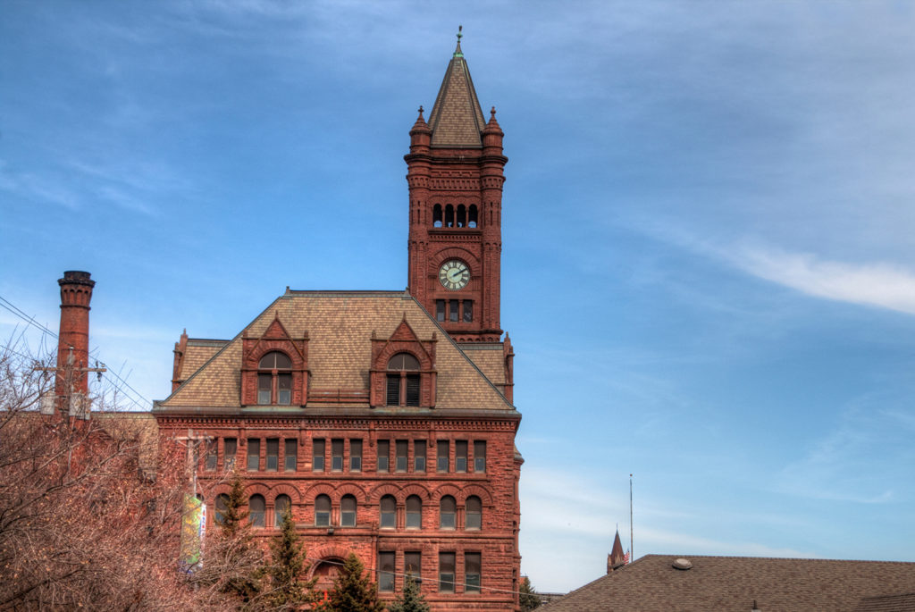
Attractions and Experiences
close In Duluth, you can choose any number of ways to spend a day: Explore the city’s history through museums and galleries. Shop, eat, and explore your way through iconic Canal Park. Or get a feel for the whole city with a train ride or harbor cruise.

Dining
close Duluth boasts award-winning restaurants with options for every appetite. Options include cuisines from all over the world, and many restaurants boast postcard-worthy views.

Lodging
close Choose from spa-like hotels, historic bed and breakfasts, lakefront lodges or even camping sites with incredible views of nature.